The Role of LiDAR in High Precision Surveying for Informed Land Development
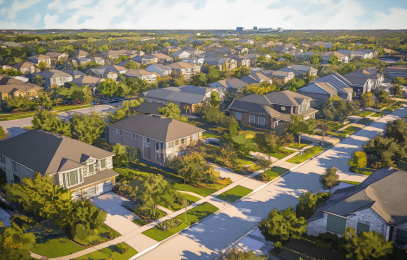
Light Detection and Ranging (LiDAR) has become an indispensable tool for a wide range of applications, particularly in land development. Its transformed high-precision surveying – the bedrock of successful land development projects—by delivering precision insights into the terrain, environment, and infrastructure of a given area. That data is setting new standards for development quality, quickness, and compliance.
The Fundamentals of LiDAR Technology
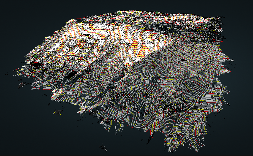
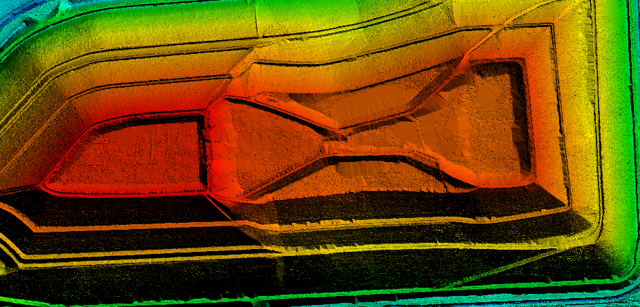
LiDAR works by emitting laser pulses towards a target and measuring the time it takes for the reflected light to return to the sensor. The process—repeated millions of times per second—generates a dense point cloud representing the surface topography. Then, the collected data is processed to create detailed maps, elevation models, and other valuable information.
There are three main types of LiDAR systems, each serving an important purpose across distinct applications:
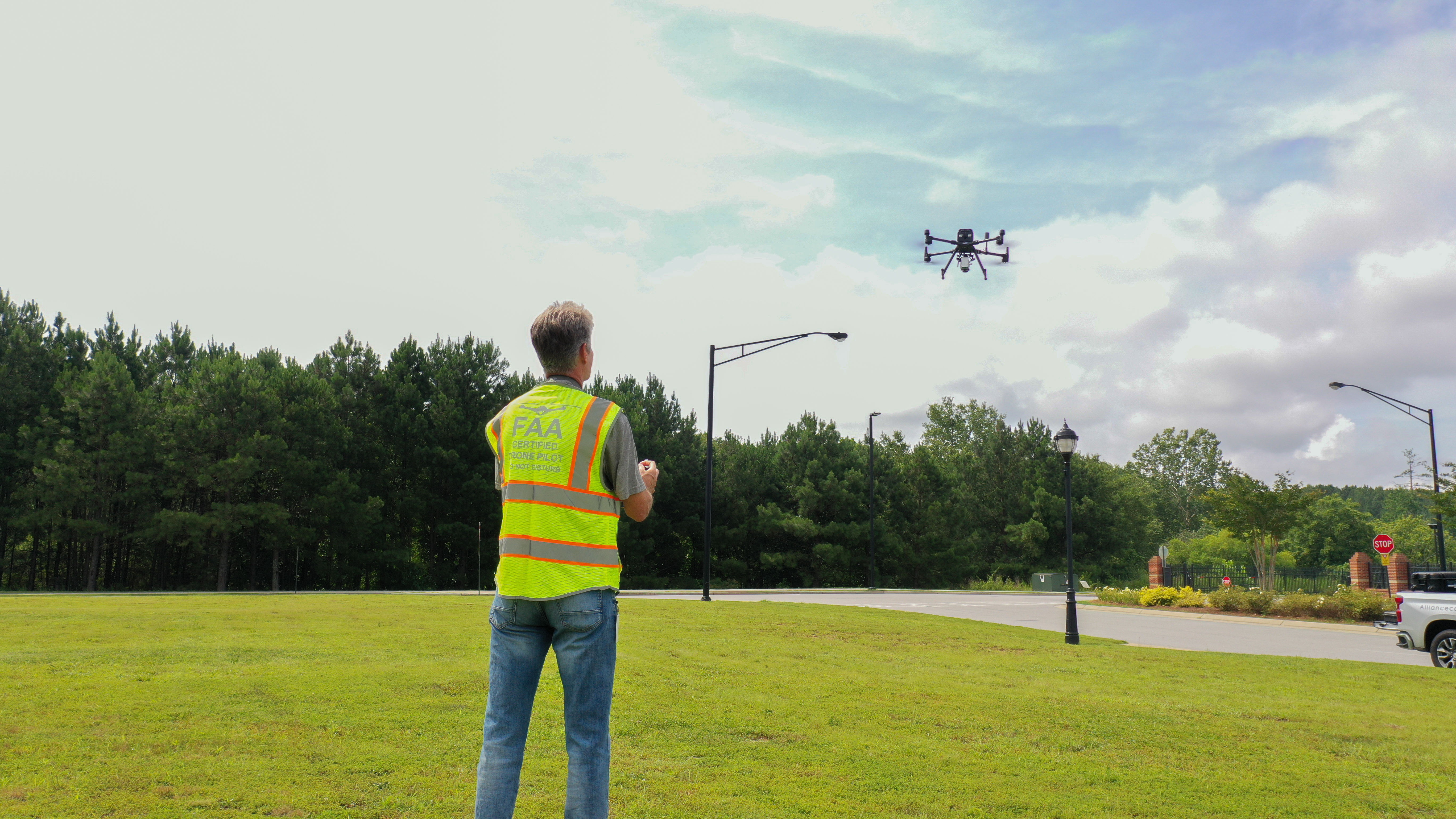
- Airborne LiDAR – Mounted on either manned or unmanned aircraft, this system provides large-scale coverage and is ideal for topographic mapping and environmental studies.
- Terrestrial LiDAR – Ground-based systems offer high-resolution data collection for detailed surveys of smaller areas, such as construction sites.
- Mobile LiDAR – Mounted on vehicles, this technology combines the advantages of airborne and terrestrial systems, providing a balance of coverage and accuracy.
The Advantages of LiDAR in Surveying
LiDAR’s ability to capture vast amounts of data with incredible accuracy and precision compared to traditional field-run surveying methods, is setting new expectations. Part of the broader digitization of infrastructure design and development, LiDAR paves the way to more effective insights right from the get-go:
High Accuracy and Precision. LiDAR delivers centimeter-level accuracy, providing a detailed and reliable representation of the Earth’s surface. This high degree of precision is helpful for topographic mapping, volumetric calculations, and infrastructure design.
Rapid Data Collection. Compared to traditional surveying methods, LiDAR significantly accelerates data acquisition, to save time and resources. Now, large areas can be surveyed in a fraction of the time required by ground-based methods. The result? Faster project timelines and reduced costs.
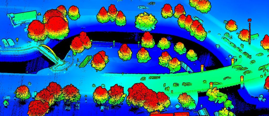
Ability to Penetrate Vegetation. LiDAR can penetrate through vegetation, providing valuable information about the underlying terrain, essential for forest management, agriculture, and urban planning. By revealing hidden features such as water bodies, geological formations, and archaeological sites, LiDAR enables more informed decision-making and reduces the risk of unforeseen challenges during project development.
3D Mapping Capabilities. LiDAR creates highly accurate 3D models of the environment, enabling visualization and analysis of complex features. These models provide a comprehensive view of the terrain, facilitating site planning, infrastructure design, and environmental impact assessments.
LiDAR Applications in Land Development
LiDAR’s versatility makes it an invaluable tool for a wide range of land development projects. From large-scale infrastructure development to smaller-scale residential projects, it sets the stage for successful preparation that translates to even more successful project outcomes:
- Topographic Mapping. Accurate digital elevation models (DEMs) and contour maps are important for site analysis, earthwork calculations, and drainage design. LiDAR’s ability to capture intricate terrain details helps engineers and planners optimize site layouts.
- Urban Planning and Design. Detailed 3D models of urban environments, created using LiDAR data, enable planners to analyze land use patterns, identify development opportunities, and assess project impacts.
- Infrastructure Assessment. LiDAR’s high-resolution point clouds are used to inspect and monitor transportation infrastructure (roads, bridges, tunnels, etc.). Plus, LiDAR data helps evaluate the impact of natural hazards on infrastructure.
- Environmental Impact Studies. Detailed information about vegetation, wetlands, and sensitive ecosystems—gathered through LiDAR—is essential for environmental impact assessments.
- Flood Risk Assessment. LiDAR-derived elevation data creates flood inundation models, helping developers spot at-risk areas and informing flood mitigation strategies. Knowing the potential impacts of flooding allows communities to develop effective emergency response plans and invest in protective infrastructure.
All these applications (and others) translate into a more informed foothold at the earliest stages of a development. More data equates to more insight, which pays dividends in the form of better proactivity and fewer challenges that threaten to impede or stall a project.
See the Bigger Picture with LiDAR and LJA
LiDAR has revolutionized land development by providing unprecedented levels of accuracy and detail. Its ability to capture precise data with unparalleled speed has revolutionized surveying and project planning. Put simply: LiDAR empowers professionals to make informed decisions, optimize project designs, and mitigate risks when it matters most—at the outset of a project.
LJA’s commitment to leveraging LiDAR and other cutting-edge technologies and certifications puts us at the forefront of our industry. Our core technology suite—including LiDAR, GPS, GIS, hydrographic acoustic imaging, remote sensing, and HDLS—enables us to deliver exceptional services across diverse projects and geographies. Partner with us to gain unparalleled insights into the complexities of land development, to ensure the most successful project outcomes.

